Description
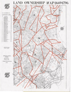
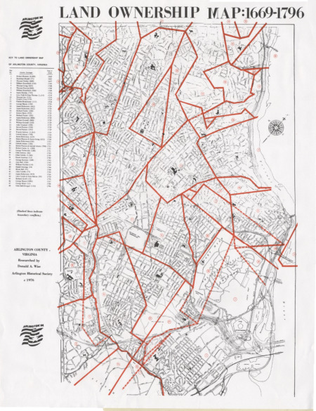
 This map was originally produced in 1976 for the country’s bicentennial. It’s back on sale now in time to help commemorate our country’s 250th anniversary early! The historic research completed by Donald A. Wise, a longtime AHS member and a member of the AHS Board of Directors has proven accurate even though even more history is now known about our county’s early beginnings.
The red borders denote historic property lines and these are shown over the county as it was in 1976–which despite the massive growth in the county since then is still discernable to today’s maps. Each of the 48 landowners and the year each acquired the land grant is also listed. The map is about 2 feet across X 3 feet in length.
Every purchase you make here on this website helps support the AHS mission to strengthen our community by building a better understanding of our diverse history.


