 https://arlhist.org/wp-content/uploads/2025/08/1670-Map-scaled.jpg
2040
2560
Peter Vaselopulos
/wp-content/uploads/2024/07/arlhist-logo-cm-02.png
Peter Vaselopulos2025-08-04 08:26:512025-08-04 08:26:511670 Map
https://arlhist.org/wp-content/uploads/2025/08/1670-Map-scaled.jpg
2040
2560
Peter Vaselopulos
/wp-content/uploads/2024/07/arlhist-logo-cm-02.png
Peter Vaselopulos2025-08-04 08:26:512025-08-04 08:26:511670 Map https://arlhist.org/wp-content/uploads/2025/08/Virginia-1606-Map.jpg
962
1249
Peter Vaselopulos
/wp-content/uploads/2024/07/arlhist-logo-cm-02.png
Peter Vaselopulos2025-08-04 08:19:222025-08-04 08:19:22Virginia Map-1606
https://arlhist.org/wp-content/uploads/2025/08/Virginia-1606-Map.jpg
962
1249
Peter Vaselopulos
/wp-content/uploads/2024/07/arlhist-logo-cm-02.png
Peter Vaselopulos2025-08-04 08:19:222025-08-04 08:19:22Virginia Map-1606 https://arlhist.org/wp-content/uploads/2025/08/1791-map-scaled.jpg
2560
1805
Peter Vaselopulos
/wp-content/uploads/2024/07/arlhist-logo-cm-02.png
Peter Vaselopulos2025-08-03 08:59:592025-08-03 08:59:591791 Map
https://arlhist.org/wp-content/uploads/2025/08/1791-map-scaled.jpg
2560
1805
Peter Vaselopulos
/wp-content/uploads/2024/07/arlhist-logo-cm-02.png
Peter Vaselopulos2025-08-03 08:59:592025-08-03 08:59:591791 Map https://arlhist.org/wp-content/uploads/2025/08/fairfax1760.jpg
2304
1728
Peter Vaselopulos
/wp-content/uploads/2024/07/arlhist-logo-cm-02.png
Peter Vaselopulos2025-08-03 08:48:062025-08-03 08:48:061760 Map
https://arlhist.org/wp-content/uploads/2025/08/fairfax1760.jpg
2304
1728
Peter Vaselopulos
/wp-content/uploads/2024/07/arlhist-logo-cm-02.png
Peter Vaselopulos2025-08-03 08:48:062025-08-03 08:48:061760 Map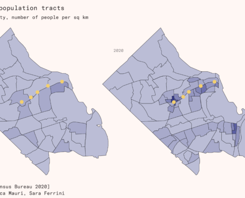 https://arlhist.org/wp-content/uploads/2025/07/02-Arlington-population-tracts-1-2048x1152-1.png
1152
2048
Peter Vaselopulos
/wp-content/uploads/2024/07/arlhist-logo-cm-02.png
Peter Vaselopulos2025-07-09 22:17:282025-07-10 07:39:18Population Growth Map 2020
https://arlhist.org/wp-content/uploads/2025/07/02-Arlington-population-tracts-1-2048x1152-1.png
1152
2048
Peter Vaselopulos
/wp-content/uploads/2024/07/arlhist-logo-cm-02.png
Peter Vaselopulos2025-07-09 22:17:282025-07-10 07:39:18Population Growth Map 2020 https://arlhist.org/wp-content/uploads/2025/07/11430_arlingtoncountylogo_color_vertical.png
384
480
Peter Vaselopulos
/wp-content/uploads/2024/07/arlhist-logo-cm-02.png
Peter Vaselopulos2025-07-09 22:05:542025-07-10 08:01:34Arlington County Map Logo 2021
https://arlhist.org/wp-content/uploads/2025/07/11430_arlingtoncountylogo_color_vertical.png
384
480
Peter Vaselopulos
/wp-content/uploads/2024/07/arlhist-logo-cm-02.png
Peter Vaselopulos2025-07-09 22:05:542025-07-10 08:01:34Arlington County Map Logo 2021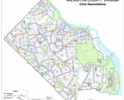 https://arlhist.org/wp-content/uploads/2025/07/Civic-Associations-MAP.png
1378
1384
Peter Vaselopulos
/wp-content/uploads/2024/07/arlhist-logo-cm-02.png
Peter Vaselopulos2025-07-09 21:53:352025-07-11 14:24:01Civic Associations Map 2024
https://arlhist.org/wp-content/uploads/2025/07/Civic-Associations-MAP.png
1378
1384
Peter Vaselopulos
/wp-content/uploads/2024/07/arlhist-logo-cm-02.png
Peter Vaselopulos2025-07-09 21:53:352025-07-11 14:24:01Civic Associations Map 2024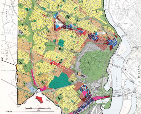 https://arlhist.org/wp-content/uploads/2025/07/1983-GLUP-scaled.jpg
2560
1644
Peter Vaselopulos
/wp-content/uploads/2024/07/arlhist-logo-cm-02.png
Peter Vaselopulos2025-07-09 21:35:072025-07-10 07:59:46Department of Community Affairs 1983 Map
https://arlhist.org/wp-content/uploads/2025/07/1983-GLUP-scaled.jpg
2560
1644
Peter Vaselopulos
/wp-content/uploads/2024/07/arlhist-logo-cm-02.png
Peter Vaselopulos2025-07-09 21:35:072025-07-10 07:59:46Department of Community Affairs 1983 Map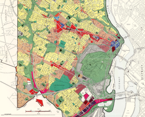 https://arlhist.org/wp-content/uploads/2025/07/1975-GLUP-scaled.jpg
2560
1645
Peter Vaselopulos
/wp-content/uploads/2024/07/arlhist-logo-cm-02.png
Peter Vaselopulos2025-07-09 21:22:362025-07-11 13:44:46General Land Use Plan Map 1975
https://arlhist.org/wp-content/uploads/2025/07/1975-GLUP-scaled.jpg
2560
1645
Peter Vaselopulos
/wp-content/uploads/2024/07/arlhist-logo-cm-02.png
Peter Vaselopulos2025-07-09 21:22:362025-07-11 13:44:46General Land Use Plan Map 1975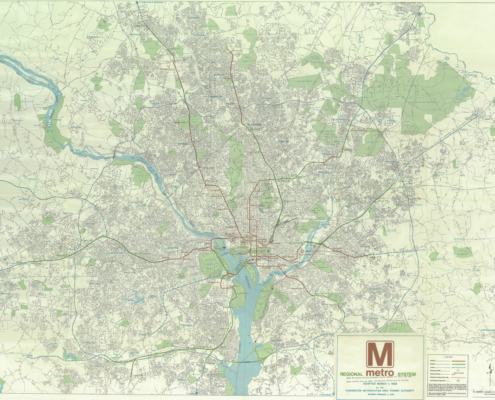 https://arlhist.org/wp-content/uploads/2025/07/Metro-Map-1968.jpg
946
1280
Peter Vaselopulos
/wp-content/uploads/2024/07/arlhist-logo-cm-02.png
Peter Vaselopulos2025-07-09 21:12:162025-07-10 08:05:58Metro Map 1968
https://arlhist.org/wp-content/uploads/2025/07/Metro-Map-1968.jpg
946
1280
Peter Vaselopulos
/wp-content/uploads/2024/07/arlhist-logo-cm-02.png
Peter Vaselopulos2025-07-09 21:12:162025-07-10 08:05:58Metro Map 1968