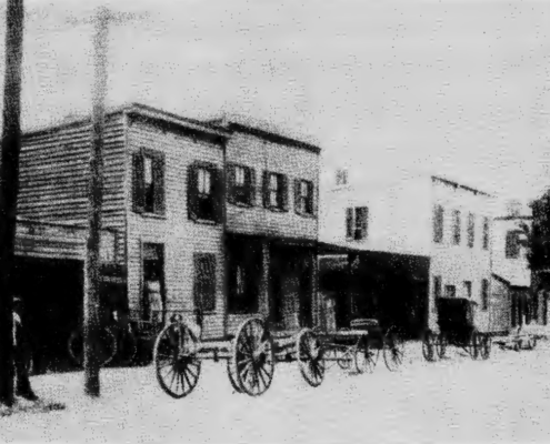
 https://arlhist.org/wp-content/uploads/2025/10/Screenshot-2025-10-31-at-9.42.42-AM.png
812
1100
Adam Ide
/wp-content/uploads/2024/07/arlhist-logo-cm-02.png
Adam Ide2025-10-31 09:47:372025-10-31 09:47:37Arlington’s Path to Self-Government
https://arlhist.org/wp-content/uploads/2025/10/Screenshot-2025-10-31-at-9.42.42-AM.png
812
1100
Adam Ide
/wp-content/uploads/2024/07/arlhist-logo-cm-02.png
Adam Ide2025-10-31 09:47:372025-10-31 09:47:37Arlington’s Path to Self-Government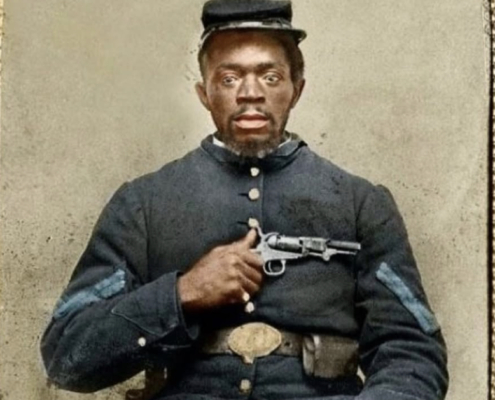 https://arlhist.org/wp-content/uploads/2025/02/Nimrod-Burke.jpg
1136
778
Peter Vaselopulos
/wp-content/uploads/2024/07/arlhist-logo-cm-02.png
Peter Vaselopulos2025-10-24 20:38:062025-10-24 20:39:20Rediscovering Arlington’s Civil War History
https://arlhist.org/wp-content/uploads/2025/02/Nimrod-Burke.jpg
1136
778
Peter Vaselopulos
/wp-content/uploads/2024/07/arlhist-logo-cm-02.png
Peter Vaselopulos2025-10-24 20:38:062025-10-24 20:39:20Rediscovering Arlington’s Civil War History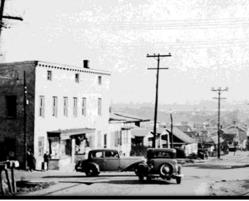 https://arlhist.org/wp-content/uploads/2025/09/cpike-old.jpg
528
1150
Peter Vaselopulos
/wp-content/uploads/2024/07/arlhist-logo-cm-02.png
Peter Vaselopulos2025-10-24 20:04:232025-10-24 20:09:59Columbia Pike
https://arlhist.org/wp-content/uploads/2025/09/cpike-old.jpg
528
1150
Peter Vaselopulos
/wp-content/uploads/2024/07/arlhist-logo-cm-02.png
Peter Vaselopulos2025-10-24 20:04:232025-10-24 20:09:59Columbia Pike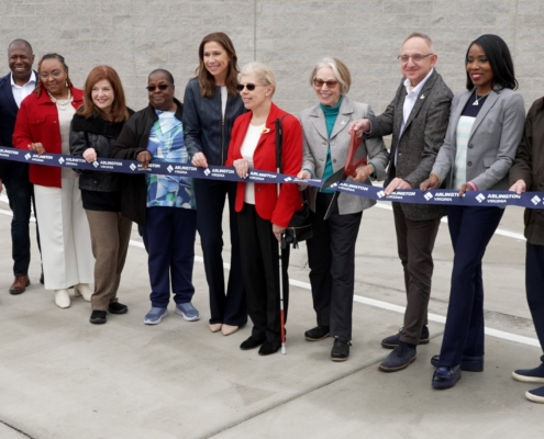 https://arlhist.org/wp-content/uploads/2025/10/ribbon-cutting-1-scaled.jpg
1153
2560
Peter Vaselopulos
/wp-content/uploads/2024/07/arlhist-logo-cm-02.png
Peter Vaselopulos2025-10-24 16:29:052025-10-24 19:47:18History of Arlington’s Government
https://arlhist.org/wp-content/uploads/2025/10/ribbon-cutting-1-scaled.jpg
1153
2560
Peter Vaselopulos
/wp-content/uploads/2024/07/arlhist-logo-cm-02.png
Peter Vaselopulos2025-10-24 16:29:052025-10-24 19:47:18History of Arlington’s Government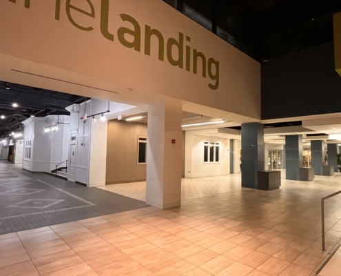 https://arlhist.org/wp-content/uploads/2025/10/no_chairs_and_tables_1-scaled.jpg
1920
2560
Peter Vaselopulos
/wp-content/uploads/2024/07/arlhist-logo-cm-02.png
Peter Vaselopulos2025-10-24 12:24:112025-10-24 12:24:11Community Gathering in Crystal City Underground
https://arlhist.org/wp-content/uploads/2025/10/no_chairs_and_tables_1-scaled.jpg
1920
2560
Peter Vaselopulos
/wp-content/uploads/2024/07/arlhist-logo-cm-02.png
Peter Vaselopulos2025-10-24 12:24:112025-10-24 12:24:11Community Gathering in Crystal City Underground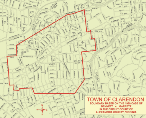 https://arlhist.org/wp-content/uploads/2025/10/Screenshot-2025-10-24-at-9.51.44-AM-e1761314262690.png
750
913
Adam Ide
/wp-content/uploads/2024/07/arlhist-logo-cm-02.png
Adam Ide2025-10-24 09:59:552025-10-24 14:05:42Bennett v. Garrett
https://arlhist.org/wp-content/uploads/2025/10/Screenshot-2025-10-24-at-9.51.44-AM-e1761314262690.png
750
913
Adam Ide
/wp-content/uploads/2024/07/arlhist-logo-cm-02.png
Adam Ide2025-10-24 09:59:552025-10-24 14:05:42Bennett v. Garrett https://arlhist.org/wp-content/uploads/2025/10/24be28639d300314b656363fa73d86d5.jpg
400
400
Adam Ide
/wp-content/uploads/2024/07/arlhist-logo-cm-02.png
Adam Ide2025-10-22 10:10:372025-10-24 14:07:36Arlington’s First Openly LGBTQ Elected Official
https://arlhist.org/wp-content/uploads/2025/10/24be28639d300314b656363fa73d86d5.jpg
400
400
Adam Ide
/wp-content/uploads/2024/07/arlhist-logo-cm-02.png
Adam Ide2025-10-22 10:10:372025-10-24 14:07:36Arlington’s First Openly LGBTQ Elected Official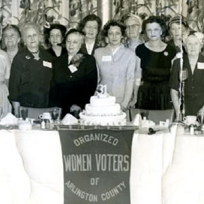 https://arlhist.org/wp-content/uploads/2025/10/31833a2ffacd824ad69ecb48538d2b34.jpg
400
400
Adam Ide
/wp-content/uploads/2024/07/arlhist-logo-cm-02.png
Adam Ide2025-10-22 09:59:192025-10-24 14:09:03The Organized Women Voters of Arlington
https://arlhist.org/wp-content/uploads/2025/10/31833a2ffacd824ad69ecb48538d2b34.jpg
400
400
Adam Ide
/wp-content/uploads/2024/07/arlhist-logo-cm-02.png
Adam Ide2025-10-22 09:59:192025-10-24 14:09:03The Organized Women Voters of Arlington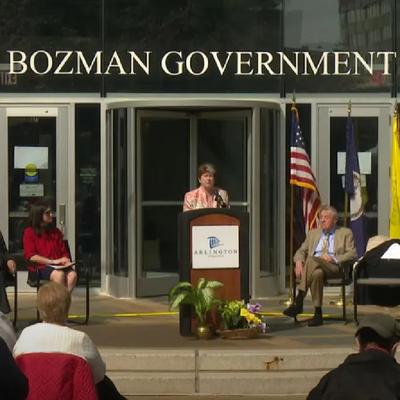 https://arlhist.org/wp-content/uploads/2025/10/8cec33e0d42a7af0200dd8600cbaa049.jpg
400
400
Adam Ide
/wp-content/uploads/2024/07/arlhist-logo-cm-02.png
Adam Ide2025-10-22 09:54:052025-10-24 14:10:50Ellen Bozman
https://arlhist.org/wp-content/uploads/2025/10/8cec33e0d42a7af0200dd8600cbaa049.jpg
400
400
Adam Ide
/wp-content/uploads/2024/07/arlhist-logo-cm-02.png
Adam Ide2025-10-22 09:54:052025-10-24 14:10:50Ellen Bozman https://arlhist.org/wp-content/uploads/2025/10/40e7ba6dcb73fe7267d6a208e2993445.jpg
400
400
Adam Ide
/wp-content/uploads/2024/07/arlhist-logo-cm-02.png
Adam Ide2025-10-22 09:42:522026-05-19 09:11:01The Story of Smart Growth and the Metro
https://arlhist.org/wp-content/uploads/2025/10/40e7ba6dcb73fe7267d6a208e2993445.jpg
400
400
Adam Ide
/wp-content/uploads/2024/07/arlhist-logo-cm-02.png
Adam Ide2025-10-22 09:42:522026-05-19 09:11:01The Story of Smart Growth and the Metro