Arlington Historical Museum
1805 South Arlington Ridge Road, Arlington, United States
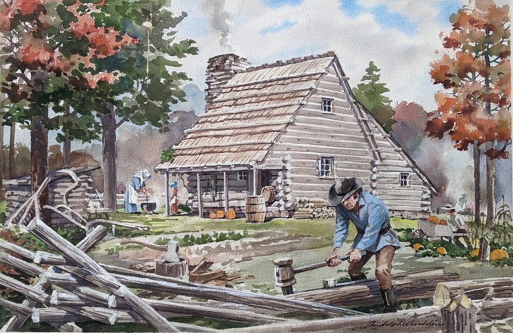
Discover the people who helped shape Arlington. This exhibit highlights early landowners and settlers whose decisions and choices laid the foundation for the county we know today. The Arlington Historical […]
Arlington Historical Museum
1805 South Arlington Ridge Road, Arlington, United States
Step into the moment Arlington helped shape the nation’s capital. In 1791, surveyors under President George Washington mapped a 100-square-mile federal district along the Potomac River, placing forty sandstone boundary stones; […]
Arlington Historical Museum
1805 South Arlington Ridge Road, Arlington, United States
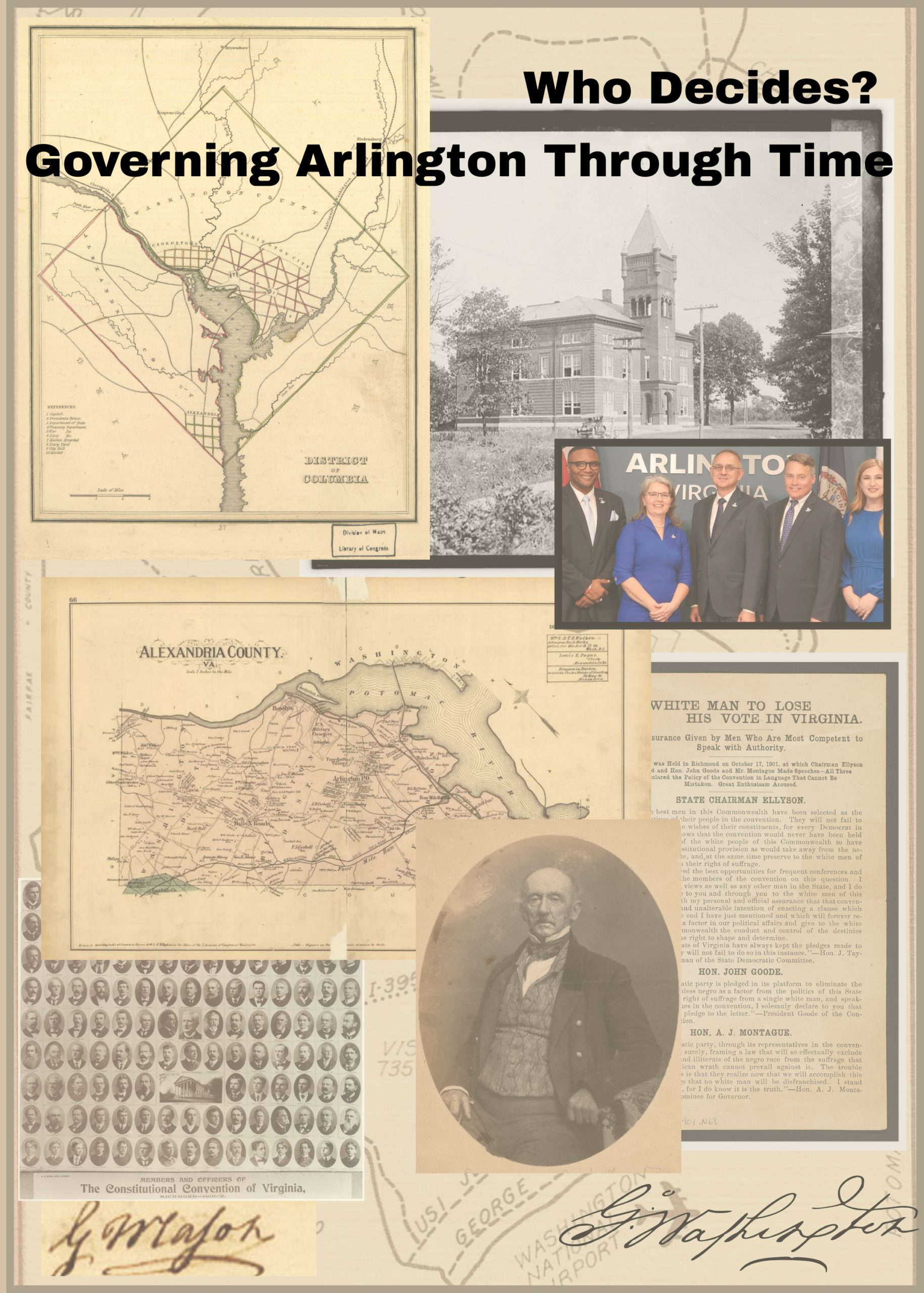
Explore how Arlington has been governed, and who has held the power to make decisions, over time in Who Decides? Governing Arlington Through Time. This exhibit traces the county’s evolving […]
Arlington Historical Museum
1805 South Arlington Ridge Road, Arlington, United States
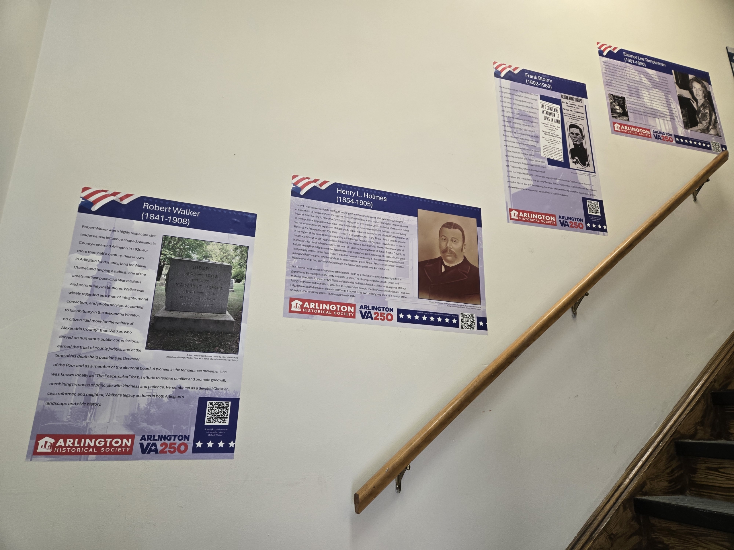
New Changemakers Exhibit Installed The latest edition of our rotating Changemakers poster exhibit is now up, highlighting individuals whose contributions helped shape Arlington's history and community. As part of Arlington […]
Arlington Historical Museum
1805 South Arlington Ridge Road, Arlington, United States
Marking the 25th anniversary of September 11, 2001, First on the Scene explores Arlington’s immediate response to the attack on the Pentagon. Through photographs, artifacts, and firsthand accounts, the exhibit […]