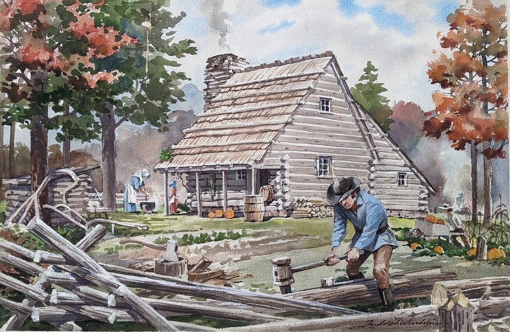
Discover the people who helped shape Arlington. This exhibit highlights early landowners and settlers whose decisions and choices laid the foundation for the county we know today. The Arlington Historical Museum is commemorating 250+ years of local history. This exhibit is upstairs on the 2nd floor of the museum. The Museum is open Saturdays 10-4 […]
Step into the moment Arlington helped shape the nation’s capital. In 1791, surveyors under President George Washington mapped a 100-square-mile federal district along the Potomac River, placing forty sandstone boundary stones; some of which still stand in Arlington today. Learn about the people who surveyed and mapped this land. The Arlington Historical Museum is commemorating 250+ […]
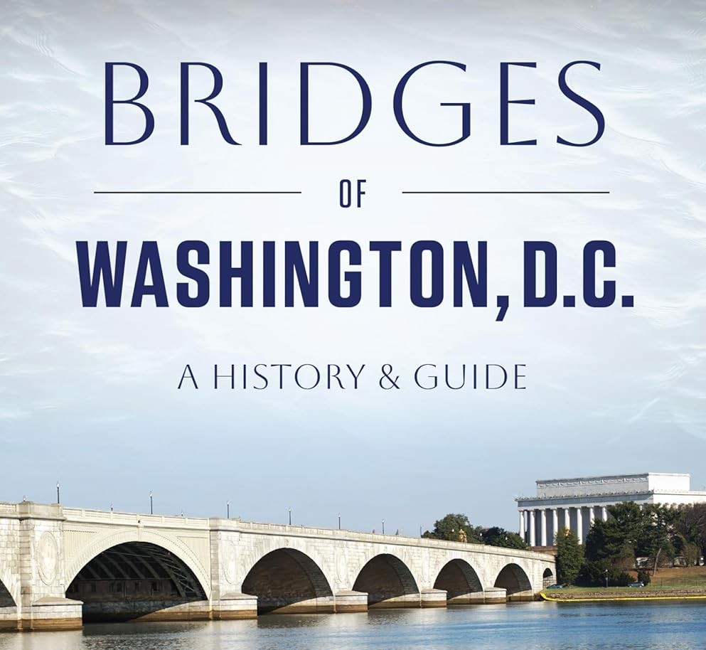
In the late 1700s, the first bridges, now completely gone, connected the new Federal City to the outside world. Throughout the nineteenth and twentieth centuries, more and bigger crossings arose […]
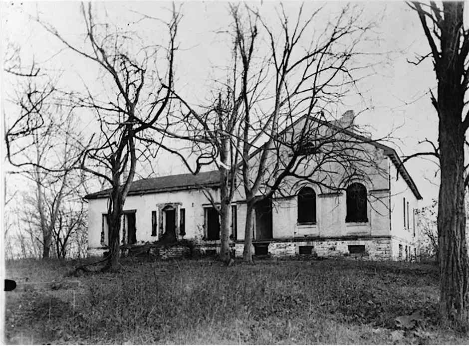
See Theodore Roosevelt Island with a new lens. Walk the places where enslaved people lived and worked on "Mason's Island" plantation from 1792-1860s. This guided walking tour is sponsored by […]